
What East Palo Alto Neighbor Records Show
A block lookup works best when each source has one clear purpose. The County GIS layer supplies parcel adjacency. The Assessor and Recorder connect a parcel to public title and assessment facts. City project records show public development activity. The voter file is restricted, and community listings identify organizations rather than member households. EPACA adds consensual historical collections. None of these sources is a complete list of everyone who lives near an address.
| Source | What It Shows About a Block | Access |
|---|---|---|
| County GIS and Property Maps | Parcel lines, adjacent APNs, map links, and address context | Free address or APN click and pan |
| Assessment and Recorder records | Assessed owner, mailing distinction, recorded parties, and title events | Web index, map portal, or county counter |
| City planning and project maps | Zoning, General Plan, flood context, projects, applicants, and status | Public map, project list, or focused CPRA request |
| Restricted voter file | Qualifying registered voters for an approved geography and purpose | Self-lookup or statutory application |
| Community organization listings | Organization names and public contact routes | Official city resources directory |
| EPACA catalog | Community groups, oral histories, newspapers, and historical collections | Public catalog; submissions are consensual |
A GIS click can show that two parcels touch. It cannot show which people are inside a home. For neighbors, the useful result is a mapped relationship between parcels, not a guessed household name. An assessed owner may receive tax notices at a separate mailing address. A recorded party may be a trustee, beneficiary, representative, or lienholder. Read the field and role before calling the result a household contact.
Mapping East Palo Alto Neighbors by Parcel
The adjacent-parcel method starts in the San Mateo County Property Maps and GIS viewer. Search the exact address or APN, zoom until parcel lines are clear, click the subject polygon, and then click the polygons on each side and across the street. Record only public parcel facts and map references. The viewer is a way to see land adjacency, not a verified household map.
- Open the County address or APN map search and locate the subject parcel.
- Note the APN, situs, map book or subdivision reference, and adjacent APNs shown by the map.
- Open each adjacent parcel and compare the assessment and recorded-document links.
- Use RecorderWorks for a qualifying owner or APN search, then keep grantor, grantee, and other roles separate.
- For a full named-street chain, shift to the East Palo Alto street directory workflow.
The County GIS and Assessor map sites document address, APN, assessor map book and page, and parcel or subdivision volume and page modes. Online maps can be downloaded free. Official copies are available through the Assessor counter. The online RecorderWorks index covers property documents from 1985 forward, while older parcel and title work moves to the counter. A map link is stronger than a postal city label when a block sits near a boundary or an older place name.
Note: The county research verified click and pan adjacency, but no radius or buffer tool was verified, so a precise search circle should not be promised.
East Palo Alto Neighbors: Missing Radius Tool
There is a practical difference between a map that lets a researcher pan and a tool that returns every parcel within a measured distance. The local inspection verified the first, not the second. Start with the subject lot, click each surrounding polygon, and pan in both directions. A block can have irregular lots, alleys, corner parcels, and older map references that make a guessed radius misleading.
East Palo Alto's interactive city maps add zoning, General Plan, and flood layers. Formal adopted maps control when a web layer and another record disagree. The project list can be searched by keyword, department, status, and project type, which may reveal public activity tied to an address. A project applicant is not automatically an occupant or owner. A focused request can be sent through the City's public-records entry point with the address, custodian, date range, and record type.
Use a parcel map for the physical block, an assessment field for tax information, and a recorder instrument for title history. Keep the three results in separate notes. That simple split prevents a mailing address or a development applicant from being mistaken for a nearby household. A neighbors map is a starting point for verification, not a people list.
Owners, Occupants, and East Palo Alto Neighbors
Official records and commercial neighbor-lookup tools answer different questions. County sources are tied to a custodian, a parcel, a statutory access rule, or a filed instrument. Commercial tools may combine public and purchased data, merge people with the same name, preserve stale addresses, or charge for a report. Neither category should be treated as proof that a particular person is at a home today.
| County GIS and Assessor | Strong for parcel shape, situs, APN, assessed owner, and mailing distinction; not a household roster. |
|---|---|
| RecorderWorks | Strong for indexed parties and title events since 1985; a role or instrument is not occupancy proof. |
| City projects | Strong for public project activity and status; an applicant or contractor is not occupancy evidence. |
| Commercial category | May offer convenience or older address clues; source mix, freshness, identity matching, and lawful use require independent review. |
A good block record therefore reports what the source actually says: adjacent parcel, assessed owner, mailing destination, recorded party, or public project contact. It should not silently add household members, utility customers, delivery data, or a private address obtained from another context.
East Palo Alto Neighbors and Community Organizations
Community resources can help a person learn about a block's civic and historical setting. They are organizations, not membership lists. The City of East Palo Alto's public directory expressly identifies organizations and contacts without endorsing them, and the research found no authoritative public neighborhood-association umbrella or HOA roster. The organization listings provide contact routes only.
City Community Resources
East Palo Alto community organizations are listed with public contact information and service context.
The listing does not prove membership, attendance, or residence.
East Palo Alto Community Archive
EPACA's public catalog connects to community collections, oral histories, and local newspapers.
Catalog subjects are historical or consensual records, not current household data.
East Palo Alto Library
East Palo Alto Library provides public library access and reference paths through San Mateo County Libraries.
A library card or visit does not create a public household roster.
The useful question is what an organization publishes for its own work. For neighbors, a public phone, service description, or archive catalog can support civic research. It cannot be turned into a list of members or nearby households.
The City community resources directory is the official contact channel for the organizations it names.
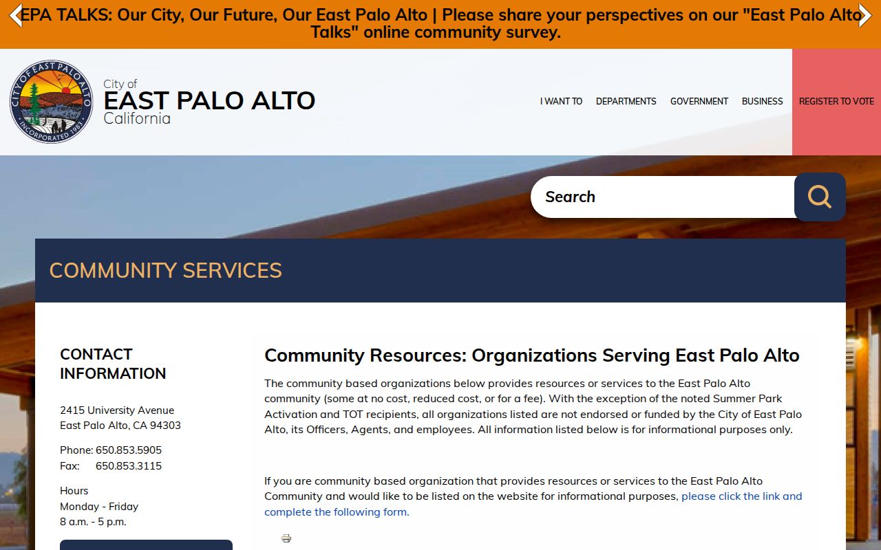
The directory image represents organizational access, not a member or resident index.
EPACA and East Palo Alto Neighborhood Memory
The East Palo Alto Community Archive was founded in 2022 and can be browsed by arts and culture, education, gentrification, events, immigration, Ohlone or Native, Black or African American, Latinx or Hispanic, Pacific Islander, and youth groups. The catalog also filters by period, medium, and language. Named collections include East Palo Alto Progress from 1936-1959, incorporation records from 1980-1994, People of EPA videos, and oral histories.
That range gives a block question a human and historical layer. A newspaper or oral history can explain how a street, school, event, or community group was understood at a point in time. It still does not identify every person who lived near an address, and a catalog subject is not a current contact.
The EPACA collections catalog is the best public entry point for that historical context.
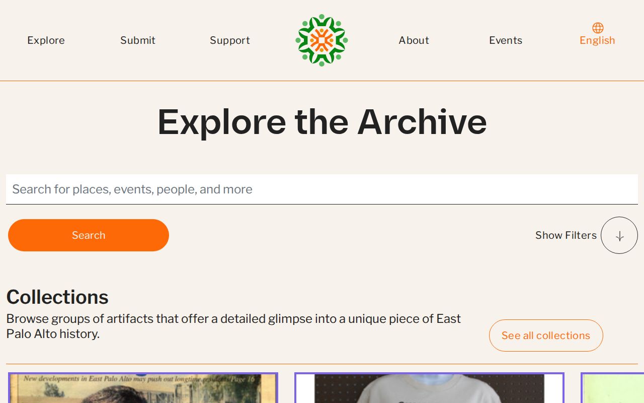
EPACA's archive layer can reconnect families and community stories without turning historical participation into a present-day occupancy claim.
East Palo Alto Neighbors and Voter Limits
San Mateo County's My Election Info is a self-authenticated lookup. It asks for the voter's own house number, five-digit ZIP code, and birth date, then can return registration status, party affiliation, precinct, districts, pamphlet preference, and election information. The public workflow is for the voter, not for browsing a block of nearby people.
California Elections Code section 2194 limits full-file access to specified election, scholarly, journalistic, political, or governmental purposes. Government Code section 7924.000 protects street address, phone, email, precinct and registration numbers, prior registration, identifiers, and signatures except under narrow access rules. Authorized files can include residence or mailing fields and participation history, but an application and approved purpose are required. Commercial or general block use is prohibited.
The county Elections office lists 40 Tower Road, San Mateo, 650-312-5222, 1-888-SMC-VOTE, and registrar@smcacre.gov. Use those channels for a voter's own correction or an authorized file question. Do not guess another person's birth date or try to bypass the authentication screen.
East Palo Alto Neighbor Privacy Limits
A parcel map does not disclose every person at a dwelling. Household members, utility customers, delivery records, DMV addresses, and protected residents may be private or absent from the public sources. California Safe at Home gives eligible survivors and other protected participants a substitute mailing address and confidential voter-registration route. It does not erase every old public record.
A Safe at Home participant should contact the program before using an ordinary form that might expose a residence. The program explains how custodians can substitute the designated address where the law permits. Existing recorded documents are not silently rewritten, so privacy questions belong with the specific custodian.
Safety registries are also separate from block research. The California Megan's Law Website has statutory exclusions and site-use limits; it is not a way to build a household list or confirm who lives beside an address.
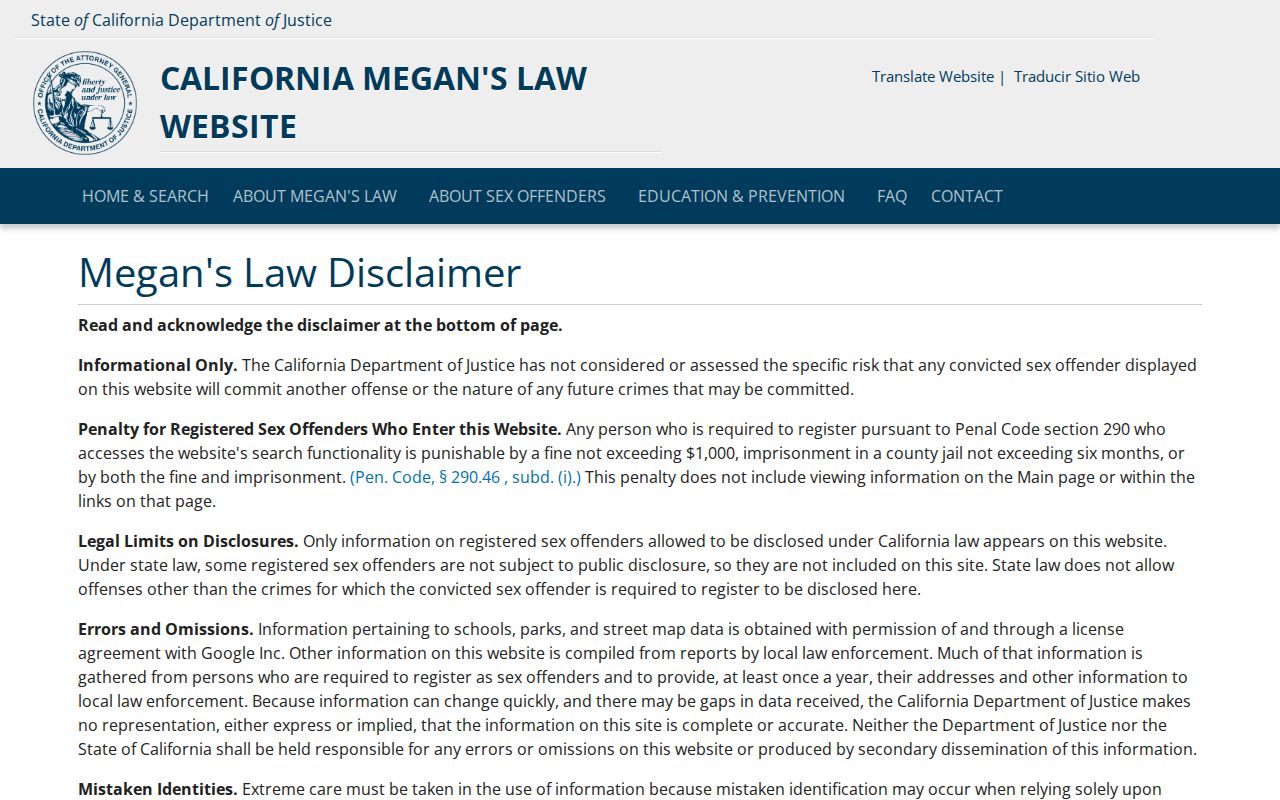
The registry image belongs in a safety context only. Do not republish protected-victim information or turn an address-area result into a neighbor identity claim.
The VINE custody status notification service is another safety channel whose participation and coverage should be checked directly.
VINE can send status notifications when its coverage applies, but it is not a residence database and does not identify a block's households.
Lawful use. East Palo Alto block research is for understanding a block, reconnecting, civic curiosity, and personal safety awareness. Do not use records to stalk, harass, intimidate, or harm anyone.