
East Palo Alto ZIP Code Coverage
One verified postal ZIP serves East Palo Alto: 94303. It is shared with portions of Palo Alto and nearby delivery areas, so a 94303 mailing address does not by itself prove that a parcel lies inside the East Palo Alto city line. Postal geography answers a delivery question. County GIS and LAFCo answer a jurisdiction question.
| ZIP | Areas Covered | Post Office | Notes |
|---|---|---|---|
| 94303 | East Palo Alto and portions of Palo Alto and nearby postal areas | East Palo Alto Post Office, 1765 E Bayshore Road, Suite E; retail Monday-Friday 10 a.m.-2 p.m.; 650-321-1423 | Shared postal area; not coterminous with the city |
The USPS location record also lists a Palo Alto-named sorting and delivery facility at 2085 E Bayshore Road. That facility is physically in East Palo Alto and carries 94303-9997 or 94303-9998 identifiers. A facility name is a postal label, not a municipal boundary.
The USPS East Palo Alto Post Office record is the source for the station address, retail hours, and phone.
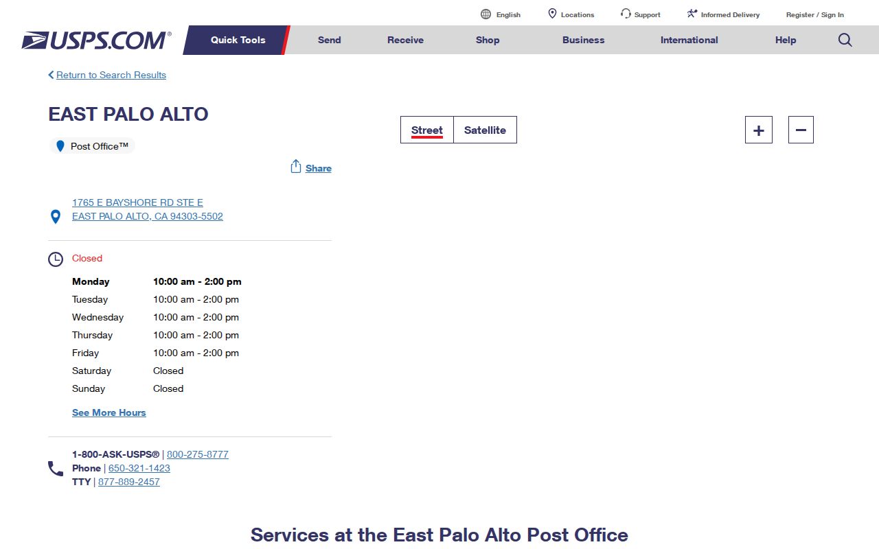
The post-office image helps distinguish the retail station from the separate Palo Alto-named delivery facility. Both belong in a delivery check, not in a city-limit lookup.
East Palo Alto ZIP Verification
A useful ZIP search compares the input each authority actually accepts. USPS validates delivery information. The County Assessor and GIS accept an address or APN. LAFCo supplies boundary context. My Election Info authenticates one voter with a house number, ZIP code, and birth date. None of those routes is a public search for every resident in a postal area.
| Source | Search Field or Input | What It Returns | What It Does Not Establish |
|---|---|---|---|
| USPS city and state lookup | City and state, such as East Palo Alto and California | Postal ZIP and mailing-city result | City jurisdiction or parcel ownership |
| USPS address lookup | Delivery street address, city, and state | Delivery formatting and postal city or ZIP | Who lives at the address |
| County GIS and Property Maps | Exact address or APN | Parcel geometry, APN, map, and jurisdiction clues | A ZIP-wide resident list |
| San Mateo LAFCo | City and county boundary information | Municipal jurisdiction context | Postal delivery assignment |
| My Election Info | House number, five-digit ZIP, and birth date selectors | The voter’s own status and election information | Another person’s record or all residents in a ZIP |
The USPS city and state lookup can show that a place name maps to a ZIP, while an address lookup tests a particular delivery string. Keep the USPS result beside the parcel result. If the two seem to disagree, the issue is often the difference between a delivery route and a legal boundary.
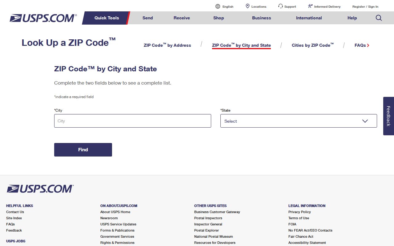
The USPS lookup screen is a postal validation tool. It should not be read as a census of people or as an official city-boundary map.
East Palo Alto ZIP Code Search
A ZIP code can narrow a delivery question, but the local records found in research do not provide a verified comprehensive list of everyone in 94303. Use a short address-first workflow:
- Run the address or city and state through USPS to confirm the delivery ZIP and postal city.
- Put the exact address or APN into County GIS or Property Maps and confirm the parcel and East Palo Alto jurisdiction.
- For a voter’s own record, use My Election Info with the required house number, ZIP code, and birth date. Do not guess another person’s birth date.
- For a lawful records question, ask the relevant custodian for a focused address or APN search rather than asking for every person in the ZIP.
Once a ZIP narrows the delivery area to a street, the East Palo Alto street directory supplies the address-keyed parcel, deed, project, and historical workflow. That handoff keeps postal granularity from being mistaken for a resident roll.
If the self-lookup does not resolve the voter’s own record, San Mateo Elections lists 650-312-5222, 1-888-SMC-VOTE, and the 40 Tower Road office in San Mateo. An authorized voter-file request is a separate route and requires a lawful purpose; current charges should be confirmed with Elections.
East Palo Alto ZIP Boundaries
ZIP boundaries, municipal boundaries, parcel lines, and Census statistical areas are built for different tasks. USPS assigns ZIP codes to deliver mail. County GIS and the City or LAFCo boundary determine whether land is in East Palo Alto. A Census ZCTA generalizes delivery geography for statistical use. A mismatch does not mean one authority is wrong.
- ZIP code
- A USPS delivery area used to route mail. It can cross a city line and can include more than one postal place name or nearby area.
- ZIP+4
- The ZIP code plus four extra digits used for a more precise delivery segment. It remains postal routing information, not a city boundary.
- PO-box ZIP
- A ZIP assigned mainly to post-office boxes or a postal facility. No separate PO-box-only ZIP assigned specifically to East Palo Alto was verified.
- Unique ZIP
- A ZIP assigned to a single institution or special recipient. No East Palo Alto unique ZIP was verified in the research.
- Carrier route
- A delivery route layer used by USPS. It can help explain mailing patterns but does not identify all people on a street.
Boundary check. Treat 94303 as a delivery clue. Use the parcel viewer or LAFCo boundary information before assigning an address to East Palo Alto government records.
East Palo Alto ZIP ZCTA Limits
Census ZIP Code Tabulation Areas are generalized statistical approximations built from census blocks. They are useful for comparing data at a broad postal geography, but they are not USPS delivery polygons and are not legal city boundaries. A ZCTA label should therefore be written as ZCTA when a statistic is used, rather than silently presented as an official ZIP population.
No comprehensive East Palo Alto resident count by postal ZIP was verified. County voter statistics, assessor summaries, and Census products use different geographies and should not be converted into a 94303 resident total. The same caution applies to a ZIP code directory: a postal label can organize a search without proving that every address in it belongs to the city.
The Census explanation of ZCTAs describes the statistical distinction.
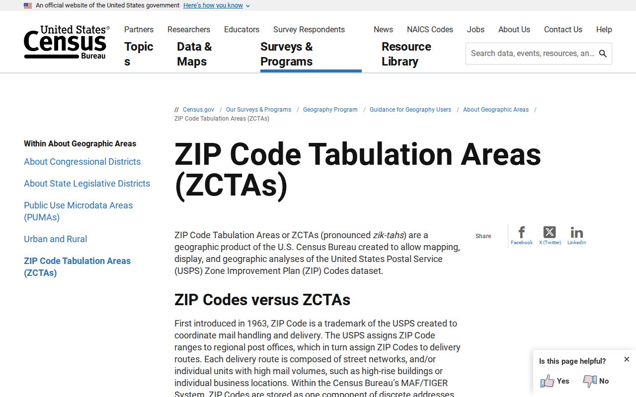
The ZCTA image belongs beside the definition because it illustrates a statistical area, not a new postal assignment or municipal line.
East Palo Alto ZIP Geography
County Property Maps searches by address, APN, assessor map book and page, or parcel and subdivision map volume and page. The GIS viewer adds parcel geometry, neighboring APNs, and map-linked records. Those fields are stronger than a ZIP when the question is whether a particular land record belongs to East Palo Alto.
Keep three identifiers apart. Situs is the physical parcel address. Mailing is the destination for correspondence. The legal description and APN identify the land in a deed or assessment record. USPS uses the delivery address, while My Election Info uses house number, ZIP, and birth date for a voter’s own record. There is no verified assessor result that lists every parcel or resident in 94303 from a ZIP-only search.
Note: A 94303 label can support postal formatting, but only an address-level parcel and boundary check can support local jurisdiction.
East Palo Alto ZIP History
San Mateo County was created on April 19, 1856 after separation from southern San Francisco County. Redwood City is the county seat, so the county offices that hold East Palo Alto property, recorder, elections, and vital trails sit outside the city. LAFCo and county boundary material help separate the postal map from the government map.
East Palo Alto remained unincorporated until July 1, 1983. Before incorporation, city-style records belong to county or predecessor jurisdictions, and place labels in directories or maps do not follow the present ZIP. A postal lookup can be current while the historic record path still requires a county, regional, or archive search.
The San Mateo County and LAFCo history page provides the county and jurisdiction context.
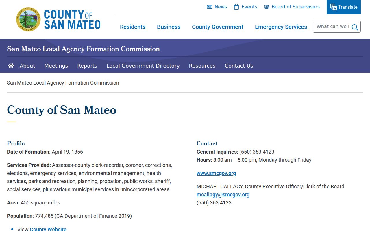
The county history image reinforces why a local ZIP question often ends at a Redwood City custodian rather than a city-only file.
East Palo Alto Historic ZIP Names
Historical place names can matter more than the modern ZIP. Ravenswood was platted in 1851. Runnymede and the Weeks colony developed from 1916, and East Palo Alto became common as a name in the 1920s. A directory, newspaper, map, or county file may use Ravenswood, Runnymede, East Palo Alto, Menlo Park, or Palo Alto for a place that now sits in the same research path.
The City’s Historic Resources Inventory reports a 1939 county effort to rename streets and renumber many residences so duplicate East, North, and Palo Alto addresses would be easier for postal and fire service. It lists examples such as Palo Avenue to Park Street, Stanford Avenue to Oakwood Avenue, Birch Street to Doyle Street, Ramona Avenue to Walnut Street, Addison Avenue to Palo Verde Avenue, and Lincoln Avenue to Cherry Street. The examples should be checked against the scanned table for a particular address.
Bridge a historic address with an APN, legal description, recorded map, census geography, or directory street section. Searching only for the present ZIP or street string can hide the record that makes a family or parcel connection clear.
The East Palo Alto history source supplies the local incorporation and place-name setting.
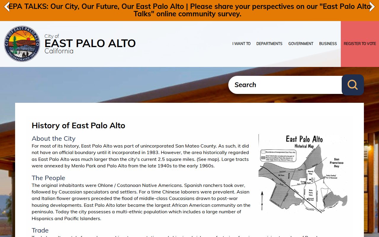
The local history image belongs with the place-name discussion because historic identity and postal geography do not advance on the same timeline.
Note: No official ZIP realignment year was verified, so a missing historic ZIP match should not be turned into a claim about a boundary change.
East Palo Alto ZIP Portal Limits
No local official portal was found that returns every East Palo Alto resident in 94303. USPS validates mail. GIS and the assessor locate parcels. LAFCo supplies jurisdiction. My Election Info authenticates one voter. A qualifying voter-file request may cover an approved geography, but it requires a lawful purpose and does not become a general ZIP directory. Census ZCTA data is statistical, not a person-level roll.
The result is a source-by-source postal directory rather than one giant list. Start with the postal question, confirm the city boundary, then choose the county, city, court, historical, or election custodian that matches the real question. Keep the distinction visible when a 94303 result includes Palo Alto or nearby delivery geography.
Do not add 94301, 94306, a separate PO-box ZIP, or a ZIP realignment date to an East Palo Alto lookup without address-level or official USPS verification. The research confirms 94303 as the shared postal ZIP and does not establish any other unique assignment.