
Trace East Palo Alto Street Directory Records
An address-led search works best when each record has one purpose. San Mateo County Property Maps supplies the parcel and map context. The assessment roll adds an assessed owner, situs, mailing address, value, and exemptions. RecorderWorks adds indexed parties and instruments. East Palo Alto project files can add an applicant, scope, or date. A qualifying voter-file request and older street sections can add separate historical or election evidence, but neither is a complete list of people at a property.
Keep a small research log with the exact street spelling, house number, parcel number, recording date, document number, and source office. Then move through the chain in order:
- Enter the address in the San Mateo County Property Maps address mode. Save the APN, assessor map reference, parcel shape, and nearby APNs.
- Open the county GIS viewer and click the subject parcel, then pan along both sides of the street. Note map and document links without treating a polygon as a household list.
- Read the assessor owner, situs, and mailing fields as property clues. A tax-mail destination can differ from the physical parcel and does not establish who is present.
- Search the current owner as a grantee in RecorderWorks, check the deed or related instrument, and then search the earlier seller as a grantee in an earlier period.
- Compare the result with the 1926-forward Polk street sections, census schedules through 1950, permits, newspapers, and properly authorized election records when the goal is a historical household trail.
East Palo Alto Address Records by Street
The East Palo Alto street directory is assembled from record sets kept by different custodians. The county assessor and GIS layers are strongest for present parcel structure. The recorder is strongest for title events. City departments hold address-keyed project and permit material after incorporation. Elections data has a narrow access route, and historical directories name people who appeared in a particular edition rather than everyone who lived on a block.
| Record Set | Keeper | What It Shows | Access |
|---|---|---|---|
| Assessment roll | San Mateo County Assessor | Assessed owner, APN, situs, mailing address, values, exemptions | Web and counter |
| Parcel and GIS map | County GIS, Public Works, Assessor | Geometry, neighboring APNs, map and recorded-document links | Free viewer and map downloads |
| Recorded instruments | ACRE Recorder Division | Party roles, document type, number, date, APN or legal-description references | RecorderWorks since 1985; counter and copy request for older work |
| Tax lookup | San Mateo Treasurer-Tax Collector | Tax record and delinquency material keyed to address or APN | County property-tax lookup |
| Projects and permits | East Palo Alto Planning and Building | Applicant, scope, status, plans, valuation, inspections, and dates | Project list, counter, or CPRA request |
| Voter status or file | San Mateo County Elections | One voter’s status, or limited fields for an approved purpose | Self-lookup or authorized application, not public browsing |
Parcel numbers are the bridge. A street label can change, but an APN, recorded map, legal description, or document number can keep the research tied to the same land. Read the owner and mailing fields with the tax source, then use a deed or map when a conclusion matters.
The county property-tax lookup is useful for an address or APN check, but tax correspondence is not an occupancy certificate.
The San Mateo property-tax lookup shows the address or APN route used to check a parcel-linked tax record.
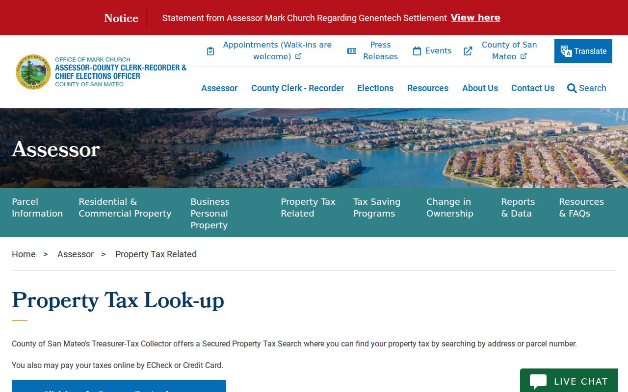
The property-tax view belongs beside the parcel and deed trail because it can confirm the key used for the next search, not because it names every person at the address.
East Palo Alto Property Map Search Fields
San Mateo County’s map instructions give the most concrete address workflow in the local records set. The home screen separates address searching from APN searching. It also provides direct routes for assessor maps and recorded parcel or subdivision maps. Search results can be downloaded for free online, while official copies are available at the county counter.
| Field or Mode | Type | Required | Format and Workflow |
|---|---|---|---|
| Address | Text or tool | Yes in address mode | Home, Find parcels by ADDRESS, enter address, Search, then choose Assessor Map or All Available Recorded Maps |
| APN | Text or tool | Yes in APN mode | Home, Find parcels by APN, enter APN, Search |
| Assessor map book and page | Number fields | Yes in map mode | Property Maps, Assessor Maps, enter book and page, Search |
| Parcel or subdivision map | Volume and page | Yes in map mode | Property Maps, Parcel Maps or Subdivision Maps, enter volume, choose page, Next |
The San Mateo County Assessor office is at 555 County Center in Redwood City and lists 650-363-4500 for contact. Map downloads are free; official map copies are sold at the county counter during weekday business hours. A street directory search should preserve both the address input and the map result, since a transcription error can send the deed search to a different parcel.
The San Mateo County Assessor portal provides the public entry point for parcel and assessment research.
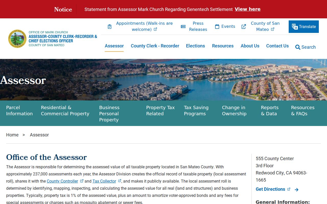
The assessor image shows the public starting point for parcel research. It supports a careful handoff from a street address to the county’s map and assessment records.
East Palo Alto Street Address Terms
Property records use several address ideas that sound alike but answer different questions. The assessor’s change-of-mailing-address form asks for APNs, owner information, Property Location, a new mailing address, occupancy-related selections, and a move date. That separation is a useful warning: the address where a tax notice goes is not the same field as the physical situs, and neither replaces the land description in a deed.
- Parcel
- A defined piece of land tracked by an assessor parcel number, or APN. One parcel can hold more than one structure or address context.
- Situs address
- The physical location assigned to the land or improvement. It is the best starting point for a map search, but it does not list every occupant.
- Mailing address
- The destination for tax or owner correspondence. It may be elsewhere because an owner, trust, agent, or other party receives notices.
- Legal description
- The written land description in a recorded instrument. It can keep a title search on the right parcel when a street name changes.
- Plat or recorded map
- A filed map that shows lots, blocks, parcels, or subdivision references. Book and page details help bridge older and newer parcel numbers.
- Criss-cross directory
- A reverse directory arranged by street and house number. The 1926-forward Polk volumes use a street section for historical address research.
Use the county mailing-address form as evidence that the fields are maintained separately, not as proof of residence. For a person question, the stable key is a combination of parcel, date, party role, and source document.
East Palo Alto GIS Parcel Walk
The county GIS viewer is the street-by-street map layer. Search the exact address or APN, zoom until parcel lines are clear, click the subject polygon, and pan in both directions. Record neighboring APNs and map references. No documented radius or buffer tool was verified, so a careful walk is more accurate than promising an automatic list of every parcel nearby.
East Palo Alto’s interactive planning maps add zoning, General Plan, and flood context. Those layers can explain why an address appears in a project or map record, but formal adopted maps control if a web layer looks different. A street directory can use the GIS view to choose the next parcel; it cannot turn the map into a household roster.
The East Palo Alto interactive maps provide the city planning layers referenced here.
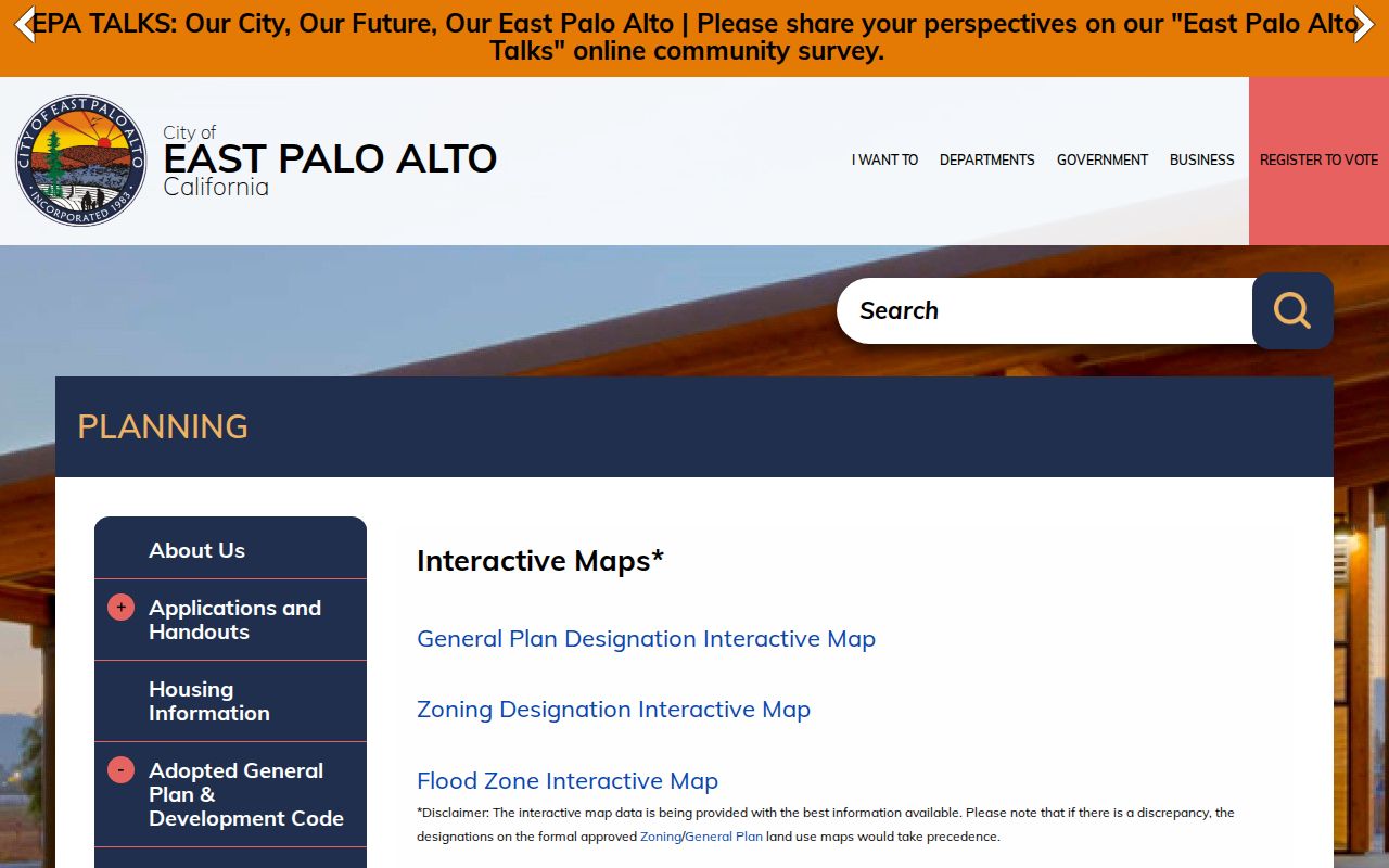
The city map view adds local planning context to the county parcel chain. Keep the parcel fact, zoning layer, and project record as separate notes.
East Palo Alto Deed Chain in RecorderWorks
RecorderWorks is the county’s Grantor-Grantee index for property documents recorded since 1985. Its search modes include name, document number, document type, map, recording date, book and page, legal description or APN, and predefined groups. Name searches use a last-name-first format or a business name; grantor, grantee, all-party, partial-match, and date-range choices help with spelling variants. A grantor conveys or encumbers an interest. A grantee receives an interest or benefit.
For a current parcel, search the owner as grantee around the known acquisition date. Read the document number, party role, recording date, type, APN or legal description, and map references. Then search the seller as grantee in an earlier window. Names alone can join unrelated parcels, so stop and compare the land reference before continuing. The online index is reference information. It does not replace the instrument image.
The ACRE counter at 555 County Center is the fallback for public viewing, older deed books and fiche, and pre-1985 material. Online index use is free, and public documents may be viewed at the office without a copy charge. For mail, provide the parties, document type, approximate date or number, payment, and a self-addressed stamped envelope. The recorded-document copy schedule lists $5 for the first page of a regular copy and $1 for each additional page, with separate certification and conformed-copy charges.
Recorder questions can go to 650-363-4500 or recorder@smcacre.gov; an optional appointment number is 650-599-1713. Staff explain access and copy procedure, but they do not perform a title search for the researcher.
Note: A 1985-present web index can start a chain, but the counter and older index books remain essential for earlier East Palo Alto title work.
East Palo Alto Street Name Changes
An APN can change when a parcel is split, combined, or carried into a new map. Do not abandon an older deed because the present number does not match. Use the legal description, subdivision or parcel-map volume and page, book and page, document number, and prior owner to bridge the record. The same method helps when a street string is modern but an older directory uses another name.
Historical geography adds another layer. Before incorporation, the same place may be indexed as Ravenswood, Runnymede, East Palo Alto, Menlo Park, or Palo Alto. Ravenswood was platted in 1851, and the Runnymede and Weeks colony developed from 1916. The one-acre and five-acre pattern still helps explain why parcel history and legal descriptions can outperform a modern address alone. Search those place variants when an older street directory or newspaper does not return a present city label.
1939 East Palo Alto Street Renumbering
The City’s Historic Resources Inventory reports that San Mateo County renamed streets and renumbered many residences in 1939 to remove duplicate East, North, and Palo Alto addresses and to help postal and fire service. That change matters to a street directory because a pre-1939 address can look absent when the record is filed under its later name.
The inventory lists examples including Palo Avenue to Park Street, Stanford Avenue to Oakwood Avenue, Birch Street to Doyle Street, Ramona Avenue to Walnut Street, Addison Avenue to Palo Verde Avenue, and Lincoln Avenue to Cherry Street. These are examples from the report, not a complete address concordance. Verify a particular conversion against the scanned table, then use APN, legal description, and recorded maps to carry the search across the change.
The Historic Resources Inventory is also a reminder to search regional directories under older place names. A modern street label should be treated as one key among several, not as the whole history.
Note: A missing hit after 1939 may reflect a renamed street, a changed number, a nonpublication year, or an index spelling difference.
East Palo Alto Permit Records by Address
City planning and building records supply a different address trail from deeds. The project list can be searched with a keyword or address and narrowed by Department, Status, and Project Type. A project may show an applicant, status, scope, plan link, or date. Building Services records can add owner, applicant, contractor, declared valuation, inspection milestones, and permit history. An applicant or contractor is a party to the work, not proof of who occupies the parcel.
Building Services is at 1960 Tate Street and lists 650-853-3189. The published counter schedule includes Monday, Tuesday, and Thursday service from 9 a.m. to 3:45 p.m., a noon to 1 p.m. closure, and other virtual or appointment options. Confirm current hours before travel. Official plans can be viewed through Building Services. Copying professionally prepared plans follows Health and Safety Code section 19851 and its owner and design-professional notice rules.
There is no verified open anonymous city permit or code database with a stable search interface. Use the counter or send a focused California Public Records Act request through the City of East Palo Alto records entry point. Identify the department or custodian, exact address or APN, document type, date range, and preferred inspection or copy delivery. The city contact directory helps route building, planning, police, or clerk questions.
The East Palo Alto planning project list is the source for the address and filter workflow.
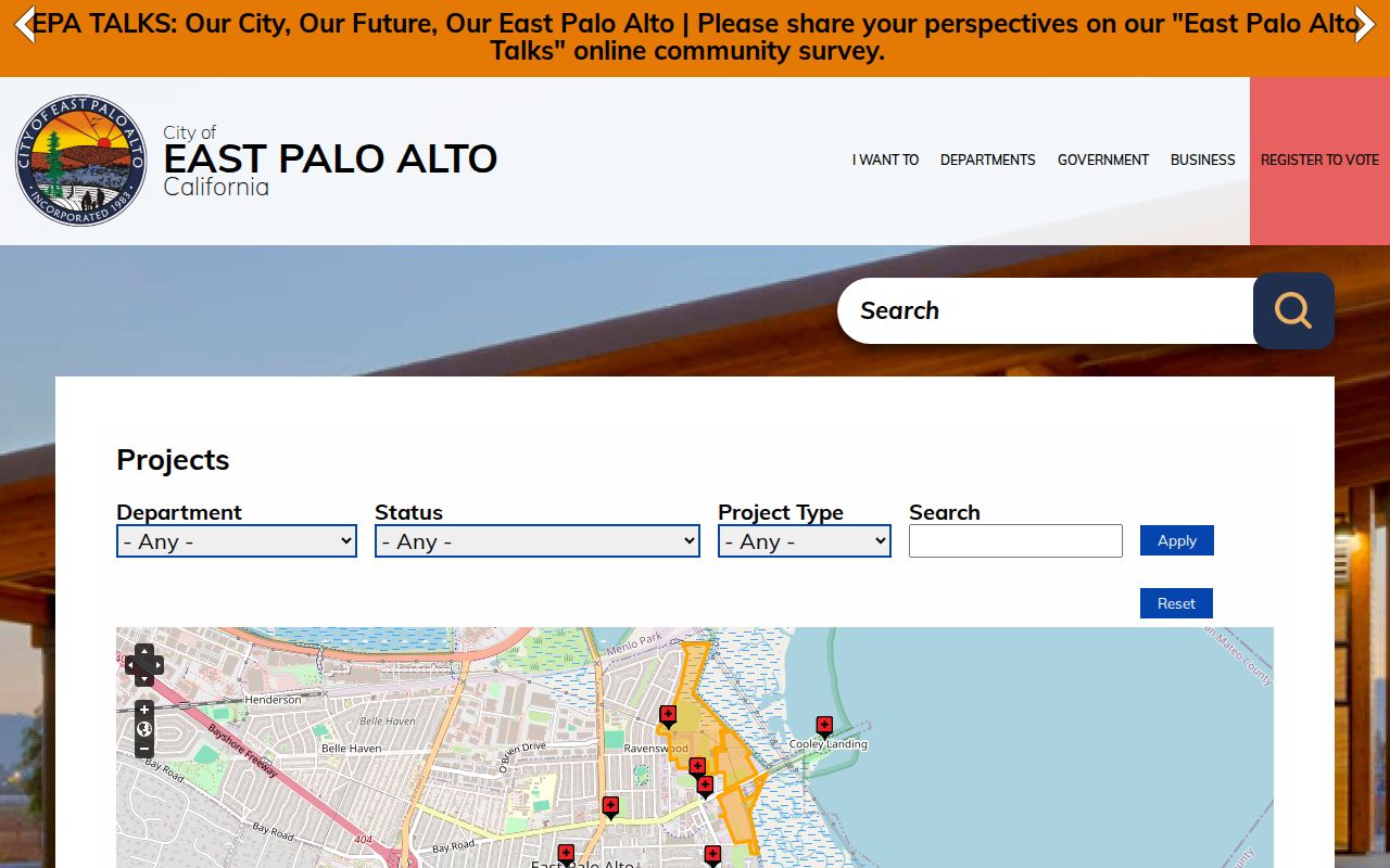
The planning project screen is most useful when the street search has already established an address or parcel key. It can add context without being mistaken for an occupant index.
Voter Data Is Not a Street Roll
San Mateo’s My Election Info tool is a self-authenticated lookup. It asks the voter for house number only, five-digit ZIP code, and birth date through month, day, and year selectors. Results can show registration status, party affiliation, precinct number, districts, pamphlet preference, and election information. The county lists 650-312-5222 and the Elections office at 40 Tower Road in San Mateo for voter questions.
California does not provide an unrestricted public voter browse by street. Elections Code section 2194 permits specified election, scholarly, journalistic, political, and governmental uses after application. Government Code section 7924.000 protects addresses, phone and email fields, registration and precinct numbers, prior registration, identifiers, and signatures except for narrow statutory access. An authorized file can contain residence and mailing fields, birth date, party, status, method, precinct, and participation history, but participation says that a ballot was cast and by what method, not how it was marked.
The Secretary of State’s voter-file request route describes the application and authorized categories. Current 2026 charges were not verified in the research, so a request should confirm the current form, purpose, geography, and fee with Elections. Never guess another person’s birth date or try to bypass the self-lookup. A nonmatch can reflect an input error, recent update, protected status, or no registration, and does not prove nonresidence.
Where an East Palo Alto Street Directory Stops
A street directory can connect public parcel facts, recorded parties, project files, qualifying election records, and historical listings. It cannot supply a complete list of people inside a dwelling. The assessor owner may have moved. A mailing address may belong to a trust, agent, or other recipient. A permit applicant may be a contractor. A historical directory may omit an unlisted household or use an old place name.
Utility customers, delivery records, DMV addresses, protected voter records, and private household details are not a public street layer. Community organizations can provide an office contact or a public event record, but the absence of a public membership roll matters. When a question shifts from a whole street to one person, use a focused East Palo Alto resident lookup and preserve each person’s role rather than turning a name match into a claim of residence.
Lawful use. East Palo Alto property, deed, map, permit, and historical records are for personal, lawful research. California stalking and harassment laws apply, so never use names or addresses to stalk, harass, intimidate, or harm anyone.