
Sources for East Palo Alto Previous Residents
One address can have several record trails. The Assessor and County GIS locate the parcel. The Recorder identifies indexed parties and instruments. Directories and census schedules are better evidence of who was listed at a dwelling. Permits date changes to the structure. Obituaries and probate can close a household trail. The years in the table are verified coverage points, with gaps kept visible.
| Source | Years It Covers | Where Held | What It Shows |
|---|---|---|---|
| RecorderWorks index | 1985-present | San Mateo County ACRE online | Indexed parties, roles, document type, date, number, APN or legal references |
| Recorder counter, deed books, and fiche | Pre-1985 | ACRE, 555 County Center, Redwood City | Older index trail, public viewing, and recorded instrument images |
| Regional Palo Alto city directories | 1895-1978 holdings, with gaps | Stanford and Palo Alto Public Library | Names and addresses; R.L. Polk street section from 1926 |
| Federal census schedules | Through 1950 public | NARA and library databases | Household at an enumeration address, with geography caveats |
| East Palo Alto permits and projects | Post-1983 city files and current listings | Building Services, Planning, and CPRA request | Applicant, property work, status, plans, and project dates |
| Obituary and probate trail | Obituary index 1890-present; court index 2000-forward online | Library indexes, SMCGS, MIDX, and Odyssey | Death notice, estate case, representatives, heirs, and distribution records |
| National Archives regional records | Federal holdings vary by record group | NARA San Francisco | Census, naturalization, court, military, and agency context |
These sources answer different questions. A deed can show a transfer without proving that a person slept at the address. A directory can name an occupant without proving ownership. A census records one date, not a full year. For previous residents, use two or more sources before assigning a name to a past East Palo Alto household.
East Palo Alto Previous Residents: 1985 Boundary
RecorderWorks is the fast online starting point for documents recorded since 1985. Its index is free for reference, but document images were not verified as open web downloads. Search modes include name, document number, document type, map, recording date, book and page, legal description or APN, and predefined groups. A name is entered as LAST FIRST or a business name. Grantor, grantee, all-party, partial-match, and date filters help narrow the result.
The cutoff matters for East Palo Alto because the city incorporated in 1983. The first two city years sit just before the online property index. Earlier title work moves to the Redwood City counter, index books, fiche, maps, and recorded documents. The researcher performs the title search. Recorder staff can explain access and copy procedure, but they do not build a family chain for the requester.
| Online index | RecorderWorks covers 1985 forward. View indexed reference data online; do not treat it as the instrument itself. |
|---|---|
| Counter viewing | Public documents can be viewed free during normal business hours. The counter also bridges pre-1985 books, fiche, and maps. |
| Copy request | Regular copy is $5 for the first page or document plus $1 for each additional page; certification adds $5, and a conformed copy is $10. |
| Mail and phone | List parties, document type, approximate date, and document number; include payment and a self-addressed stamped envelope. ACRE lists recorder@smcacre.gov and 650-363-4500. |
The San Mateo County recorded-document copy instructions identify the Customer Service Desk at 555 County Center, Redwood City, and the Monday-Friday 8 a.m.-5 p.m. counter schedule. An optional appointment line is 650-599-1713. A page count from an index result helps estimate a copy order.
The same source describes a real access channel for the older trail: a precise mail request with parties, document type, approximate recording date or number, payment, and SASE. That is different from asking the office to search an address history.
The RecorderWorks grantor-grantee index is useful for the modern half of an East Palo Alto deed chain.
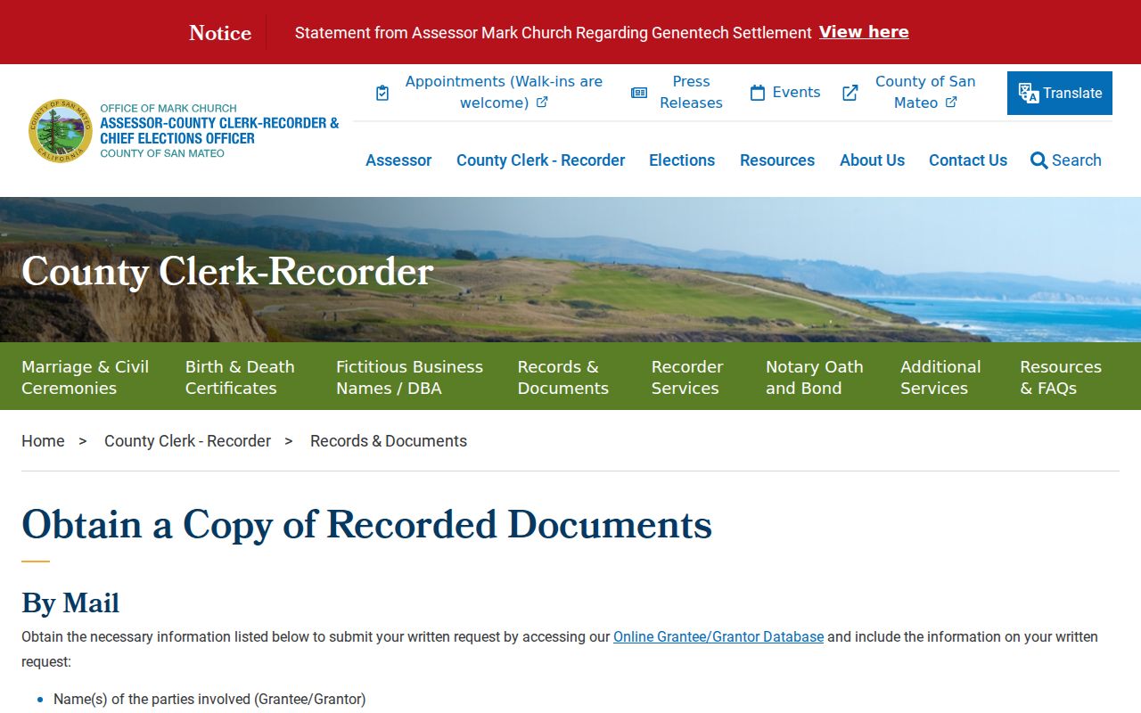
The copy desk image illustrates the handoff from a reference index to a full recorded instrument.
East Palo Alto Previous Residents: Deed Chain
The backward method is a chain of linked parties and land descriptions. Begin with the current parcel, not a guessed surname. Search the current assessed owner in RecorderWorks as a grantee around the known transfer, confirm the APN and legal description, then use the seller as the next grantee. Repeat until the web cutoff forces a counter search.
- Search the exact address or APN in County GIS and note the assessed owner, situs, mailing distinction, map references, and legal description.
- Search that owner in RecorderWorks as grantee near the likely acquisition date. Record the seller, grantor role, recording date, document number, document type, and book or page reference.
- Search the seller as grantee in an earlier time window. Confirm that the APN, legal description, or subdivision link still points to the same land.
- When an APN changed, use legal-description, Map, Book and Page, subdivision-map, or parcel-map modes to bridge the break.
- Move to index books, fiche, and counter documents for pre-1985 evidence, then pair the title trail with directories and census schedules for occupancy.
- Grantor
- The party conveying or encumbering an interest in the recorded instrument.
- Grantee
- The party receiving the interest or benefit, often the next link in a backward chain.
- Chain of title
- The linked sequence of transfers that connects a present interest to earlier instruments.
- Legal description
- The formal land description used to identify the parcel when a street name or APN has changed.
Deeds, quitclaims, deeds of trust, reconveyances, liens, easements, maps, decrees of distribution, and transfer-on-death deeds can connect people to the parcel in different roles. A lien or power of attorney is not proof of residence. Read the instrument type before treating a party as a prior owner.
East Palo Alto Previous Residents Before 1939
Older East Palo Alto searches often fail on the street string. The Historic Resources Inventory reports that San Mateo County renamed streets and renumbered many residences in 1939 to remove duplicate East, North, and Palo Alto addresses and to help postal and fire service. Examples in the source include Palo Avenue to Park Street, Stanford Avenue to Oakwood Avenue, Birch Street to Doyle Street, and Ramona Avenue to Walnut Street.
Place names also shift. Ravenswood was platted in 1851, Runnymede and the Weeks colony developed from 1916, East Palo Alto became common by the 1920s, and incorporation came in 1983. A pre-1939 record may use Ravenswood, Runnymede, Palo Alto, or Menlo Park even when the modern parcel is in East Palo Alto.
The East Palo Alto historic inventory is the bridge for the reported 1939 changes. Verify the scanned table, then use the APN, legal description, and recorded map rather than copying a modern street name into every year.
Note: No official parcel-by-parcel renumbering concordance was verified, so a place-name match remains a clue until the land record confirms it.
Directories Naming Past East Palo Alto Households
The regional Palo Alto city directories are the main occupancy layer for previous residents. Stanford Green Library holds the F869.P2A18 sequence from 1896/97 through 1978, with the listed publisher changes from Kinkead and early Palo Alto Times issues to Willis Hall and R.L. Polk. Palo Alto Public Library call 979.473 P769p fills other years. The R.L. Polk street section starts in 1926, so the address-first method is not available in the earlier books.
Search a street and house number in the street section, copy the name, then return to the alphabetical entry. Check the front-matter abbreviation key. A household may disappear because of a nonpublication year, an omitted entry, a spelling change, a move, an unlisted telephone status, or a geographic-title shift.
The East Palo Alto city directory collections page keeps the publisher sequence and shelf locations together; the backward address trail uses those holdings without treating them as a complete resident roll.
The History San Mateo County historical collections provide another local archive path for property, people, and community context.
Historical collections can supply the local story that makes an address match more than a bare name coincidence.
Pairing East Palo Alto Directories With Census
Directories give a recurring address snapshot, while a census gives a household on the enumeration date. The local research pairs the 1929-1931 directory coverage with the 1930 census, 1939-1942 material with 1940, and 1948-1950 material with 1950. Compare the address, age, birthplace, relationship, and historical occupation field, while allowing for enumeration geography and street renumbering.
- Copy the printed directory entry, street, house number, and regional place name.
- Find the matching census address and compare household members, ages, birthplace, and relationship.
- Check the next directory issue for the same name and address, including spelling variants.
- Use a newspaper, permit, obituary, or map to test a move or a changed street number.
The National Archives 1930 directory inventory specifically includes East Palo Alto and Ravenswood within the Palo Alto volumes. The National Archives at San Francisco is the regional repository path for federal records that need more than the directory inventory.
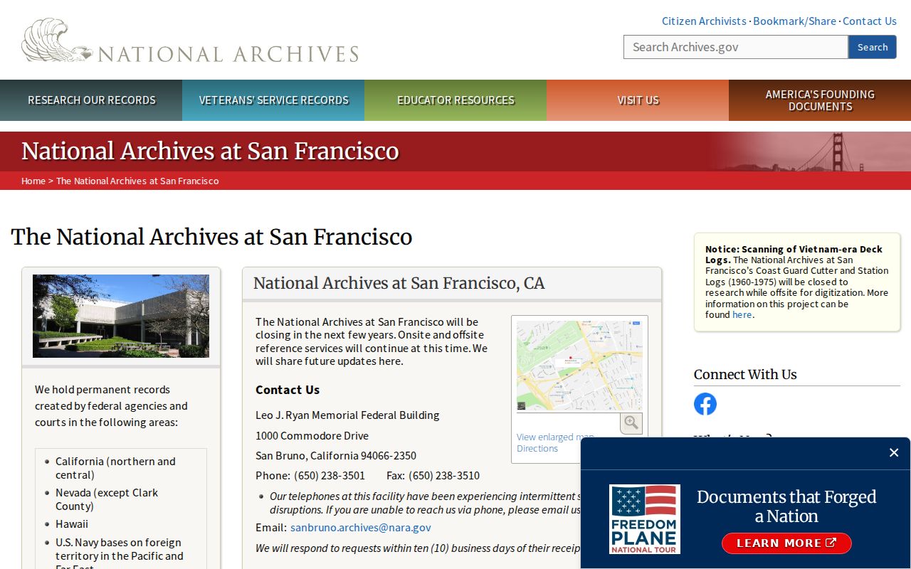
The NARA inventory supports the regional-title bridge, but it does not turn a directory citation into a confirmed household match.
When 1943 or 1945 is missing, bracket the gap with 1942, 1944, or 1946, and search wartime newspapers or county indexes. Do not convert a publication gap into a claim that a family moved.
East Palo Alto Previous Residents: Permits
East Palo Alto Building Services can add dates to a house history. Address-keyed permit evidence may show an owner, applicant, contractor, scope, issue or status date, declared value, parcel, and inspection milestone. An applicant can be an agent or contractor, so the field does not prove that the person lived at the address. The city did not expose a verified anonymous permit database, making the counter and a focused CPRA request the documented fallback.
Building Services is listed at 1960 Tate Street, East Palo Alto, with 650-853-3189. Official plans can be viewed through the department. Copying professionally prepared plans follows the owner and design-professional notice and permission rules in Health and Safety Code section 19851. For project lists, use the City's planning and project pages, then request the exact permit history by address or APN and date range.
County maps supply the land bridge. The Assessor map workflow accepts an address, APN, assessor map book and page, or parcel or subdivision volume and page. Online maps are downloadable free. Official map copies are available at 555 County Center, first floor, Monday-Friday 8 a.m.-5 p.m., with 650-363-4500 as the listed office number.
Use the map to connect an old street name to a parcel before returning to the recorder index. A plan or map can date a change to the structure, but neither alone identifies every former resident.
East Palo Alto Previous Residents: Obituaries
Death and estate records often close the previous-residents trail. The Palo Alto Library genealogy and local-history service provides an obituary index reaching from 1890 to the present, plus HeritageHub death-notice searching. The San Mateo County Genealogical Society library at 55 W. Third Avenue, second floor, holds county indexes, newspapers, cemetery and mortuary material, directories, yearbooks, and county histories. Its Schellens Collection abstracts directories, Great Registers, county record books, and newspapers from 1852-1975.
San Mateo Superior Court's MIDX and Odyssey tools cover nonconfidential index information and converted cases from January 1, 2000 forward. Probate can show a petition, appointment, notices, estate representatives, hearings, and a decree of distribution. A recorder decree or distribution instrument can then connect the estate to a parcel. Court allegations, party roles, and a current address are separate questions, and sealed or confidential material will not appear in the public portal.
For a file that is not available remotely, the Hall of Justice and Records, 400 County Center, Room A, Redwood City, lists 650-261-5100 and counter or phone hours Monday-Friday 8:30 a.m.-1 p.m. by appointment. Records Management accepts up to five files at a time, and an offsite file is held for five working days. A mail-copy request needs the case number, parties, approximate filing date or description, a self-addressed stamped envelope, and a blank check payable to Superior Court with a not-to-exceed cap. The court states a 30-day response and does not conduct research. Published charges include $0.50 per side, $15 for a dissolution certified copy, $40 for certification, $50 for exemplification, $1 per side for comparison, $15 for a search over ten minutes, and $10 for offsite retrieval. Verify fees before ordering.
The San Mateo County Genealogical Society library information gives the specialist access point for county history and family research.
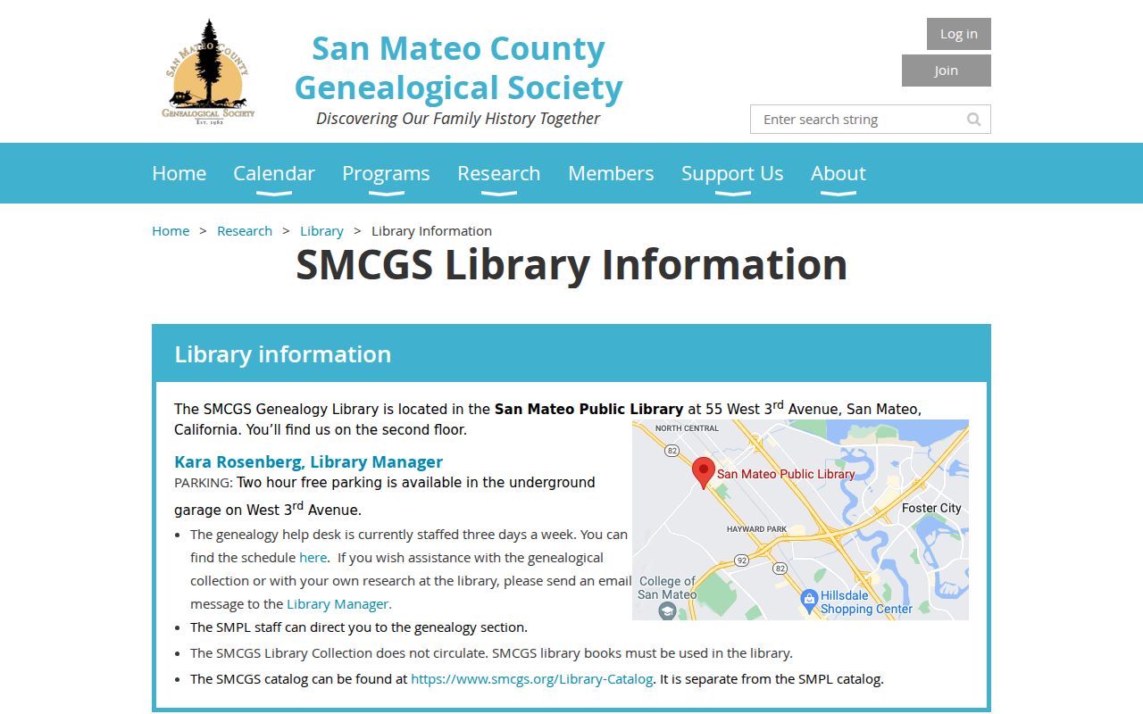
SMCGS can bridge a printed directory, a cemetery clue, and a county record when the online chain stops.
The East Palo Alto Community Archive adds community newspapers, oral histories, and incorporation collections from 1980-1994. Those records help reconnect family and community stories, but they are historical collections, not a current list of East Palo Alto residents.
Lawful use. Previous-resident research in East Palo Alto is appropriate for house history, genealogy, estate work, and personal curiosity. Do not use a record trail to stalk, harass, intimidate, or track a living person.